Infrastructure Capital Intelligence
ESIMAP is building a model of the United Kingdom's energy infrastructure at extraordinary resolution. It fuses satellite observation, LiDAR terrain data and live grid intelligence into a single picture of where to build, what it will return, and what puts it at risk.
Economic · Spatial · Investment · Modelling · Allocation · Platform
For funds, developers, insurers and lenders allocating capital into infrastructure.
The Foundation
The United Kingdom offers one of the deepest open geospatial and grid data landscapes in the world. ESIMAP fuses it, refines it against ground truth, and turns it into intelligence at the level of the individual roof, field, feeder and span.
The Platform
Where
Where assets should go. Land, terrain, grid headroom and planning context, screened in one pass.
How much
What an asset will generate, cost and earn, modelled from physics up rather than averages down.
What risk
Flood, climate, planning and grid constraint, quantified for every asset before capital is committed.
Portfolio
Portfolio views built from real objects on the map. Honest aggregation at national scale.
The Vantage
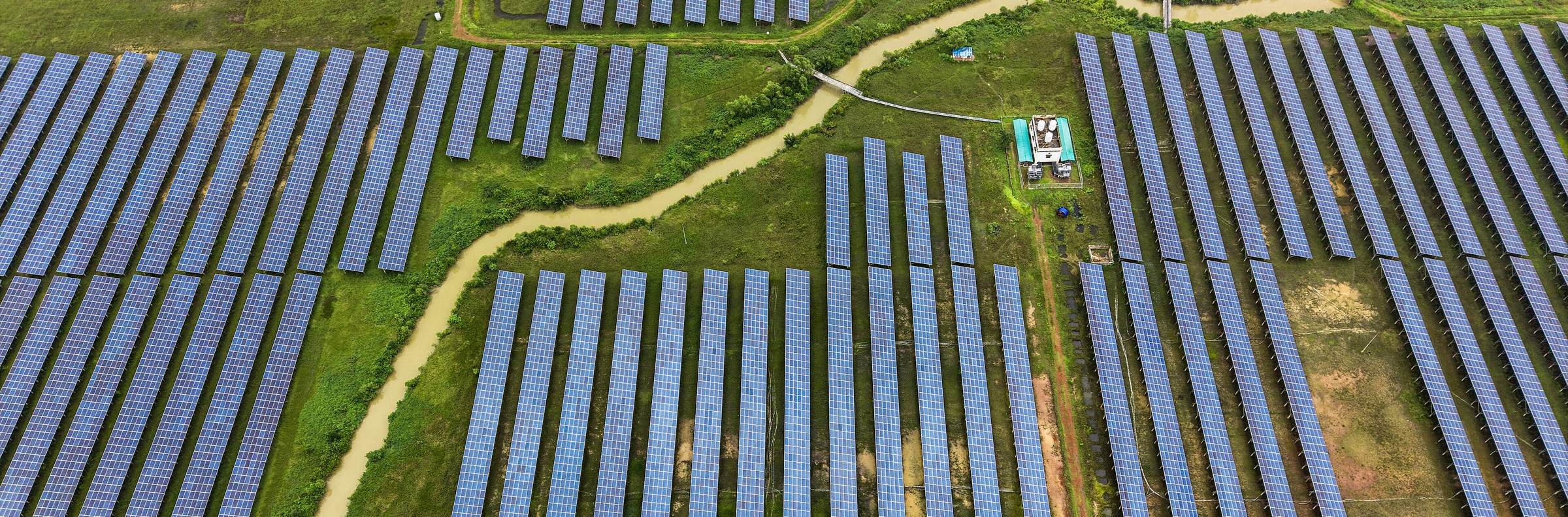
Infrastructure, seen from above and understood from the ground up.
Contact
For funds, developers, insurers and lenders allocating capital into infrastructure. Get in touch to arrange a conversation or briefing.
Get in touch